
Within the framework of the project, it is planned to introduce GIS in Vanadzor and Gyumri communities
05.05.2023
The main goal of the geospatial information system is the state of the economy and natural resources of the separate administrative territorial units, including land, water, forest resources, minerals, economic development, industrial and agricultural enterprises, real estate, population distribution, road network and other infrastructures: to have reliable and complete information necessary for effective #management of elements, #ecological condition, natural and economic resources.
Geospatial information systems provide an opportunity to carry out digitization, database creation, modeling, integration, coordination and management of spatial #data#infrastructure.
09:45
24 01 2025
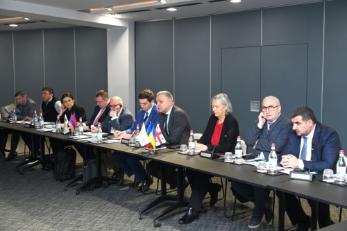
he fourth meeting of the Municipal Development Coordination platform (COM Club) was held in...
20:17
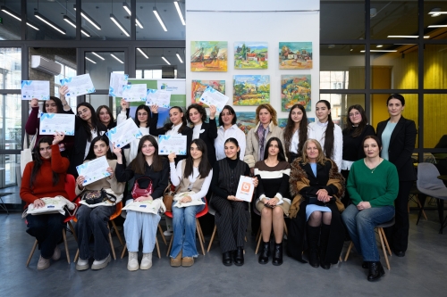
05 12 2024
On 30 November 2024, in Vanadzor, within the framework of EUSEW2024, an intellectual game on the...
20:34
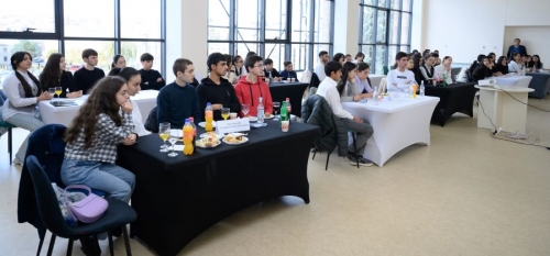
18 11 2024
On 16 November 2024, in Gavar, within the framework of EUSEW2024, an intellectual game on...
18:17
16 08 2024
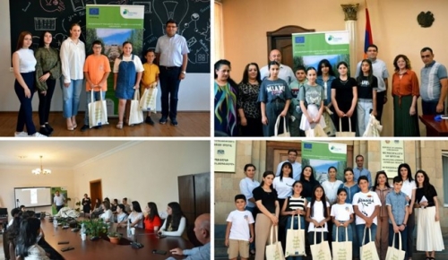
Օգոստոսի 15-ին Ապարան, Սպիտակ, Ստեփանավան և Տաշիր համայնքներում «Քաղաքապետերի...
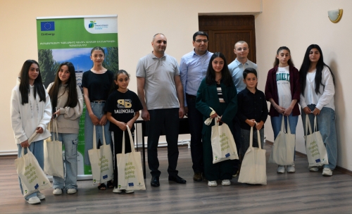
22:31
03 07 2024
Մարտունի համայնքում «Քաղաքապետերի դաշնագիր՝ Արևելք» ծրագրի և Հայաստանի համայնքների...
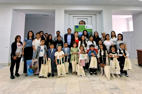
22:03
03 07 2024
Գավառ համայնքում «Քաղաքապետերի դաշնագիր՝ Արևելք» ծրագրի և Հայաստանի համայնքների...
22
Nov
26
Oct
25
Oct